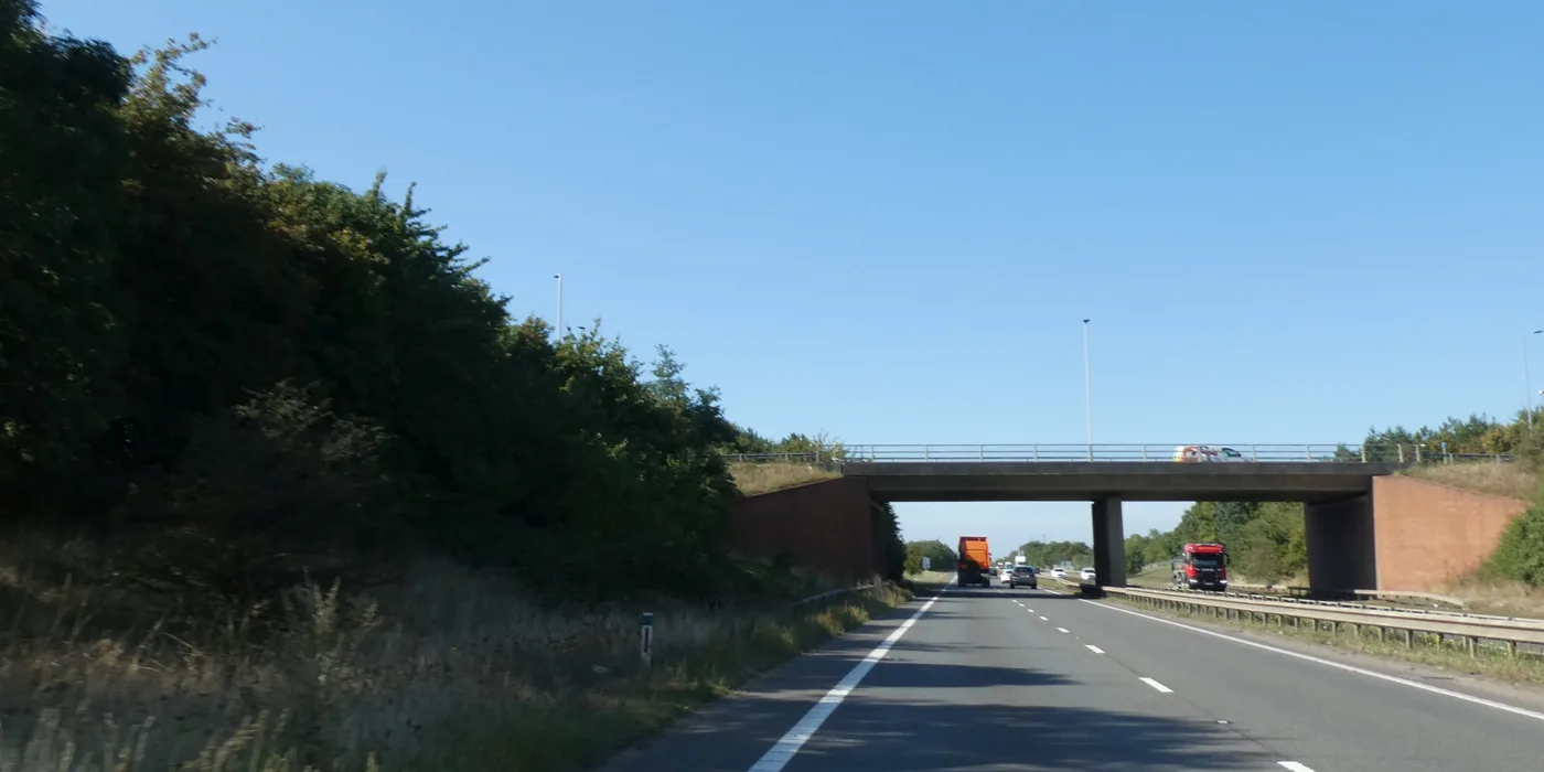

Greyfriars is shut 9pm to 5am nightly until 28 October, with Bus Station Hub stops paused. National Highways lists no A421 night closures to Black Cat now.
Greyfriars is shut overnight until 28 October. The closures started on Saturday 27 September. Bedford Borough Council has confirmed they run 9pm to 5am until 28 October, to finish resurfacing and road markings at the junction it has been rebuilding all year.
It is the Bedford roadworks job most people will notice, because it is in the middle of town. Pedestrian access stays open throughout, though the council warns of temporary walkways and short diversions depending on where the contractor is working. Buses are affected too: the council says it will temporarily pause the Bus Station Hub stops next to the roundabout, with those services re-routed via the Bus Station.
The road out to the A1 is clear at night for now. The A421 eastbound night closures to Black Cat ended on Friday 25 September. National Highways lists no further closures on the Bedford side of its A428 scheme. The only one on its list is the A1198 at Caxton Gibbet, about 20 miles east, from 12 to 16 October.
This page covers what is genuinely current, then the parts that stay true between updates: the routes worth knowing, where to check live closures yourself, and the parking rules most people in Bedford get wrong.
Last checked against National Highways, Bedford Borough Council and Thameslink on 29 September 2026.
Greyfriars: overnight closures, 27 September to 28 October
The council published the dates on 17 September, and its notice was unchanged when we re-read it on 29 September. The works run between 9pm and 5am from 27 September to 28 October and are needed, in the council’s words, to complete “resurfacing, installation of road markings and associated works safely and efficiently”.
What the council has said about them:
- closures are overnight only, to keep daytime disruption down
- pedestrian access is maintained at all times, though temporary walkways or short diversions may be in place
- the Bus Station Hub stops next to the roundabout will be paused, with services re-routed via the Bus Station
- signs at each end of the site carry the latest position if the programme moves
The council has not published a diversion route for vehicles, or said which nights in that five-week window the road will actually be shut. If you need a specific night, the signs on site are the only thing that will tell you.
Why the junction is being rebuilt
This is the tail end of Transporting Bedford 2030, one of the projects paid for out of Bedford’s £22.6 million Towns Fund award. The council puts the Greyfriars scheme at £2.31m plus a £0.25m contribution, and the contribution comes from Bedfordshire Police, whose former station site next door is being opened up for housing.
The change itself is a big one for anyone who drives through town. The existing roundabout is being converted into a signal-controlled junction, with new cycle lanes and new pedestrian crossings, and the road layout shrunk to free up land at the old police station site. The council’s own reasoning is that the roundabout “occupies a substantial amount of valuable land in the town centre”.
One detail that has been asked about repeatedly: the Italian statue on the roundabout is going into storage once the work begins. The council says fine art specialists found it needs restoration after years of exposure, and that it is still looking for a new home for it.
Black Cat and the A428: the A1 underpass slips to mid-summer 2027
The A421 runs along the south of the town from the M1 at Junction 13 to the A1 at the Black Cat roundabout, and almost every longer journey out of the borough joins it somewhere. National Highways’ largest project in construction is being built at the far end of it.
National Highways is building a 10-mile dual carriageway between the Black Cat roundabout and Caxton Gibbet, rebuilding both junctions on the way. It is a £1 billion scheme and the largest infrastructure project the agency currently has in construction. When it is finished it expects to cut average journey times on the route by up to 10 minutes.
The opening has now been split in two.
- Spring 2027: the majority of the scheme opens, including the new 10-mile A421 dual carriageway, the new A421 flyover at Black Cat, the new Cambridge Road junction and the fully upgraded Caxton Gibbet junction.
- Mid-summer 2027: the final phase, the new A1 underpass at Black Cat, comes into use.
Until that underpass opens, A1 traffic keeps using the Black Cat roundabout. That is the practical point for anyone driving from Bedford towards Peterborough or Cambridge: the roundabout is not going away this year.
National Highways attributes the delay on the underpass to a higher than expected number of unrecorded underground services, water, gas and telecoms, which the utility companies themselves have had to move before construction could safely continue. It says it will confirm firm opening dates in early 2027.
Progress so far, in the agency’s own figures: 7.1 million tonnes of earth moved, 60,000 tonnes of asphalt laid, over 27 miles of utilities diverted and 84 bridge beams lifted into place across 13 structures, out of 18 new bridges in total.
Current closures on the scheme
Closures on a project this size change weekly, and National Highways warns they can move at short notice.
The A421 night closures are over for now. The last run, the A421 eastbound between Renhold and Black Cat paired with the A1 northbound between Tempsford and Wyboston, finished at 5am on Friday 25 September. When we re-read the agency’s closures page on 29 September, it listed nothing else on the A421 or the A1.
One closure is listed, and it is at the far end of the scheme:
| Dates | What closes | Why |
|---|---|---|
| Nightly Mon 12 to Fri 16 Oct, 8pm to 6am | A1198 southbound, Caxton Gibbet North roundabout to Caxton Gibbet services | Work on the new Caxton Gibbet bridge, street lighting and drainage |
Caxton Gibbet is about 20 miles east of Bedford, where the A428 meets the A1198 in Cambridgeshire. It only matters from here if you head south towards Royston that way. The signed diversion runs via the A1198, A603, M11 and A428.
The Barford Road closure has still not reappeared. On 8 September, National Highways was advertising Barford Road at Little Barford as shut from 9pm on Friday 25 September to 6am on Monday 19 October, for drainage and carriageway tie-in work. It then vanished from the list without any notice of cancellation. We checked again on 29 September: the only closure listed is the Caxton Gibbet one above. We have found no other first-party notice either way, so if you use that road, check the closures page before you set off.
A temporary 40mph limit applies throughout the roadworks. National Highways says it set the limit at that speed so junctions keep working and it has to close roads less often.
Check National Highways’ closures page before you set off, because that page is updated as the programme moves and this one is not.
The layout has already changed twice
Two permanent changes are already in force and still catch people out.
At Black Cat, since 24 November 2025, the A1 southbound runs on a new stretch of road passing under the new east bridge, and the A1 northbound uses a new on-slip. Get in lane early: southbound, the left lane is A1 south, A421 or M1 and the right lane is A1 north, A421 or M1; northbound, the left lane is A421 west and Bedford Road, right lane A1 north.
At Caxton Gibbet, since 27 April 2026, A428 traffic in both directions east of the junction has been moved onto a new stretch of road while the upgraded junction and its flyover are built.
Roadworks inside the borough
For anything that is not the A1, A421 or A428, the highway authority is Bedford Borough Council, and it publishes a live map.
- Bedford Borough Council’s roadworks and road closures map shows current works and closures across the borough.
- Anyone digging up a borough road needs a permit from the council’s street works team, and any closure affecting a bus stop has to come with a bus stop suspension application, which is why some works appear on the map with an odd amount of notice and others with almost none.
- The council asks that A421 problems go to National Highways, not to it.
- Flood-related closures are handled separately, on the council’s emergency flooding page. Bedford sits on the Great Ouse and this matters more here than in most towns.
Manor Road, Kempston Hardwick: shut until 27 November
Manor Road stays closed to through traffic until Friday 27 November, for Universal’s earthworks. It was due to reopen on 5 October. Universal wrote to neighbours on 18 September, and council officers say they are content with the extension. Kempston Hardwick station stays open, reached from the Woburn Road end only. From 28 November the road should reopen with traffic management for about three months, and another closure may follow from March 2027. The full detail is in our Manor Road report.
What the council is consulting on now
Changes to Bedford’s roads start as a traffic regulation order, and the council puts each one out to consultation before it is made. Three are open at the time of writing:
- Cotton End Road, Wilstead: “No waiting at any time” on two stretches of the northern kerb, about 25.6 metres and 15.1 metres long, near No 77. Comments close Thursday 15 October 2026.
- The Furlong, Oakley: proposed waiting restrictions. Comments close Thursday 1 October 2026.
- Stagsden Road, Bromham: proposed waiting restrictions. Comments close Thursday 1 October 2026.
The Wilstead order is the newest, dated 24 September. The council’s public notice says the lines are needed to stop obstructive parking next to new highway works built under a Section 278 agreement, the route used when someone other than the council builds works on a public road. Comments go by email to highway.consultations@bedford.gov.uk, stating your grounds. The Murdock Road and Wadsworth Court consultations closed on 17 September.
The full list, with the drawings and the statement of reasons for each one, is on the council’s proposed traffic regulation orders page. Orders already made since 1 April 2018 are listed separately.
Potholes and road defects are reported to the borough council through its report a pothole form. Highways inspectors check the council’s roads on a rota, but a report is the fastest way to get one looked at.
Parking in Bedford, and the rules people miss
Bedford’s parking is more generous than most towns its size, and the free allowances are not well advertised.
- Two hours free every Saturday in every council town-centre car park, single-deck and multi-storey. This does not apply to on-street parking.
- Two hours free Monday to Saturday at Queen Street car park.
- Free on-street parking after 6pm, Monday to Saturday, except Castle Lane, which is 11pm.
- Free all day Sunday, except Prebend Street, Ashburnham Road, Robinson Pool and Foster Hill Road.
- Free for Blue Badge holders in all Bedford Borough Council car parks, with the badge displayed.
You still need to display a pay and display ticket even when the first two hours are free. The council is explicit about this, and it is the most common way to pick up a fine in Bedford: not overstaying, but parking free and not taking a ticket.
Allhallows, Lurke Street and River Street multi-storeys are open 24 hours, seven days a week. Overnight it is £2.50 from 6pm to 8am at Allhallows and Lurke Street, and £4 from 8pm to 6am at River Street, St Marys and Riverside. The first floor of River Street has a Changing Places toilet, open during car park hours.
If you park in town often, the council sells car park season tickets, which work out cheaper than paying daily and save the trip to the machine.
Getting around without the car
Trains. Bedford is on the Midland Main Line with fast East Midlands Railway services and frequent Thameslink services to London, and the Marston Vale line runs west to Bletchley for Milton Keynes. Times and fares are in our Bedford to London trains page.
One thing to plan around at the London end: there is still no step-free access to or from the Thameslink platforms at St Pancras International while the lifts are refurbished. Thameslink has given the window as Monday 15 June to mid-September 2026 since it started. That window has now run out. We checked the page again on 29 September and it still says only “mid-September”, with no completion date and no note saying the lifts are back. Treat the work as ongoing until Thameslink says otherwise. The accessible toilet on platform B is out of service too. Escalators and stairs to platforms A and B are unaffected.
Bedford has a way round this that most of the route does not. East Midlands Railway trains from Bedford use different platforms at St Pancras, which are not affected, and Thameslink names them as an option in its own advice. The other route it gives is to stay on the Thameslink to Farringdon and change there onto the Circle, Hammersmith and City or Metropolitan line back to King’s Cross St Pancras; Thameslink tickets are accepted on the Underground between King’s Cross St Pancras and Farringdon for anyone who needs step-free access. Thameslink lists no engineering work on the Bedford to London line this week: its list for 28 September to 2 October covers Kent and the Cambridge branch only.
Buses. Bedford Borough Council publishes bus timetables and maps for the borough, and also lists disruption to bus services during works and bad weather. It runs the bus pass scheme for the area.
On foot and by bike. The Embankment and the Great Ouse give Bedford an unusually good walking spine right through the middle of town, and the borough maintains public rights of way out into the villages. The council’s walking and cycling pages have the routes, and the stretch worth doing first, along with the two country parks at either end of the borough, is in our guide to things to do in Bedford.
What is coming
Two projects will change how Bedford moves, and both are years rather than months away. East West Rail proposes to expand the railway corridor through the town, with highway alterations, bridge works and a new viaduct north of Bedford, and expects to submit its consent application in January 2027. The Universal resort at Kempston Hardwick, permitted by a special development order that came into force on 12 January 2026, comes with its own rail and road works, including a four-platform station at Wixams. Both are covered in our Bedford planning page.
Sources
- A428 Black Cat to Caxton Gibbet: latest updates, National Highways
- A428 Black Cat to Caxton Gibbet: diversions, closures and speed restrictions, National Highways
- An update on Manor Road, Universal Destinations & Experiences, 18 September 2026
- Upcoming overnight road closures at Greyfriars, Bedford Borough Council, 17 September 2026
- Towns Fund: Transporting Bedford 2030, Bedford Borough Council
- Roadworks and road closures, Bedford Borough Council
- Council car parks, Bedford Borough Council
- Parking, roads and travel, Bedford Borough Council
- Proposed traffic regulation orders, Bedford Borough Council
- Planned engineering work, Thameslink
- East West Rail proposals, Bedford Borough Council
Have your say